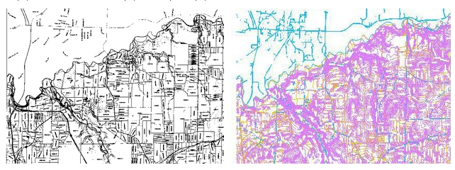
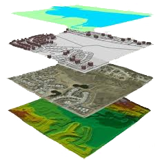
Let’s get your geographical data of all types captured and store into a Geographic Information Systems.
Why? This will allow you to manipulate, analyze, share and manage your geographic information, in one location.
Serving industries such as mining, utility, agriculture, petroleum pipelines, city planning, Property and Real estate Management, Environment & Natural resources, Disaster management, and Forestry.
Exceptional Rates, Quality and Service Lower density & volume are taken into consideration for pricing. Call today for an exact quote on your drawings needs!


